Geographic Information Systems (GIS)
Geographic Information Systems (GIS) is responsible for developing and maintaining geospatial data and assisting other county departments with maps and geospatial data analysis to support their operations. GIS is a functional unit of the Information Systems Department.
Interactive County Maps and Apps
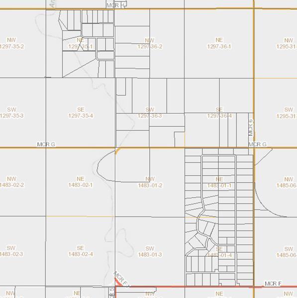
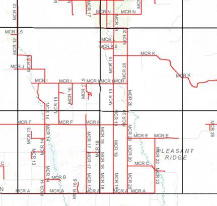
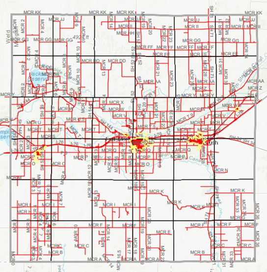
The Morgan County Maps and Apps Gallery includes interactive online maps for referencing property information and viewing maps of various tax districts throughout Morgan County.
Karol L. Kopetzky, Director
231 Ensign Street, P.O. Box 189
Fort Morgan, CO 80701
email
970-542-3507
970-542-3502 (fax)
Downloadable Shapefiles
Morgan County maintains our parcel and road centerline GIS layers. Downloadable shapefiles for each of these layers are available below. Custom GIS requests are subject to a service fee set by the Morgan County Fee Schedule. Contact the Information Systems Department with any custom GIS requests and quotes on pricing.